Product on sale
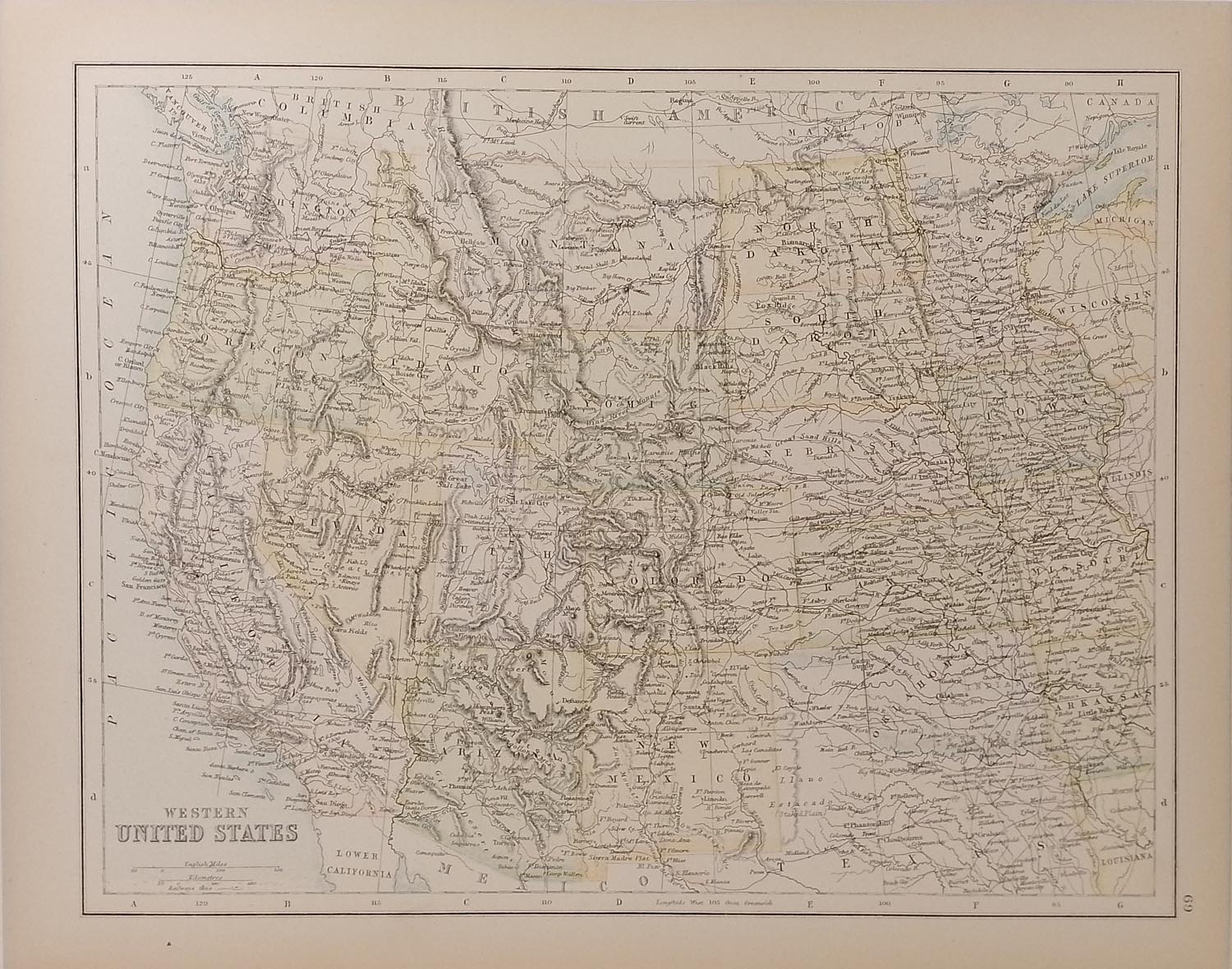
Antique Map Western United States 1890’s
- Estimated Delivery : Up to 4 business days
- Free Shipping & Returns : On all orders over RM200
Antique colour map of the Western United States. Map shows western states and across to Arkansas and Wisconsin in the east, major railway lines are also highlighted on map. The map is in very good condition for age, very clear and vibrant with good margins for framing, paper will show light ageing. Map of Mexico on the reverse. The map was originally published as part of Collins Complete Atlas and Gazetteer of the World published in the late 1890’s. Population data from the gazetteer would date the maps circa 1895 to 1897 period. The map measures 23 by 30 cm’s with the overall paper size of 27 by 34 cm’s
Related products
-
Scapular Prayer Book
$ 8.06 -
He is Risen! Bookmarks - 100/pk
$ 35.10