Product on sale
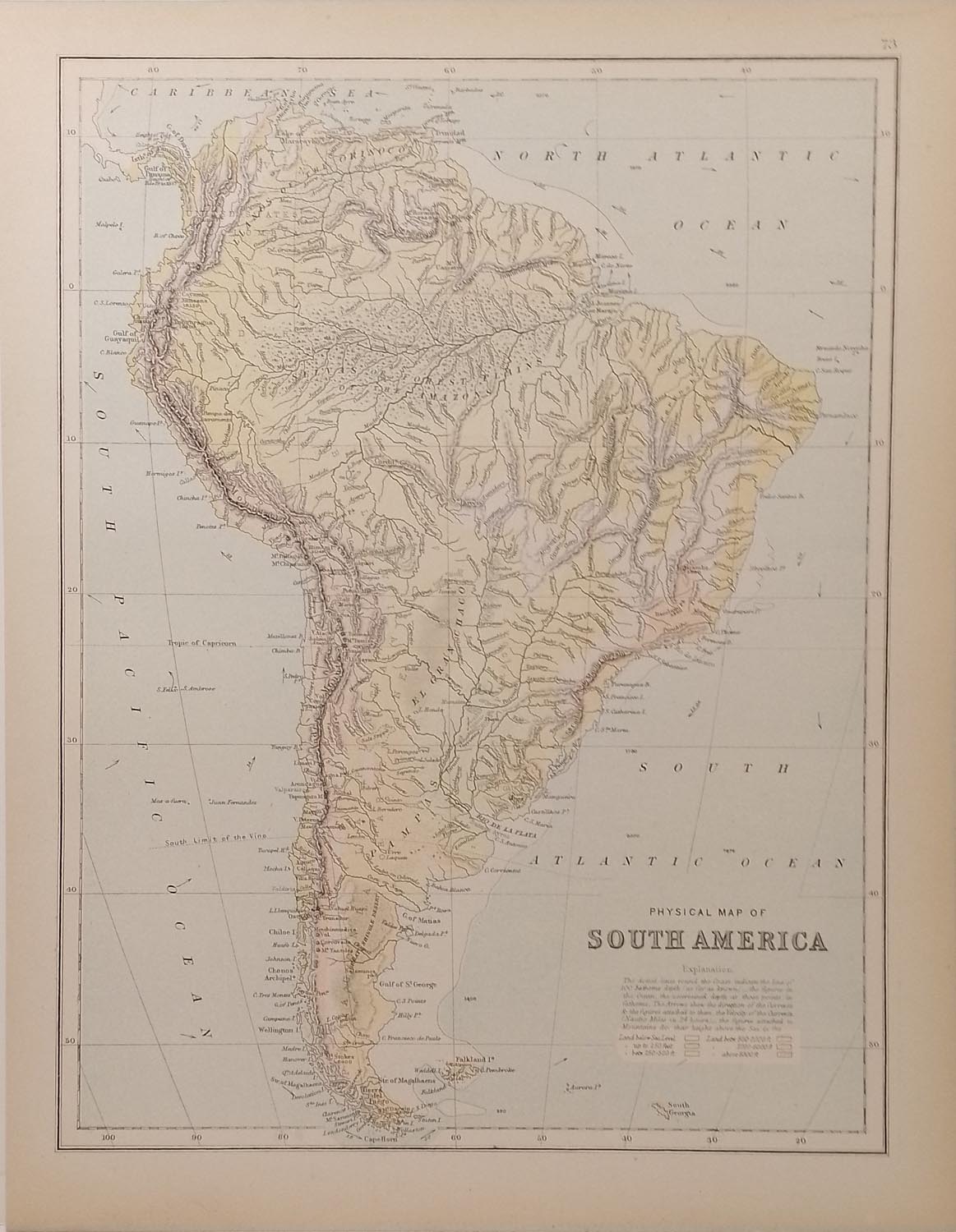
Antique Map South America Physical 1890’s
- Estimated Delivery : Up to 4 business days
- Free Shipping & Returns : On all orders over RM200
Antique colour map of South America Physical. Dotted lines around the edge of map show where sea depth is over 100 fathoms. The map is in very good condition for age, very clear and vibrant with good margins for framing, paper will show light ageing. Map of Oceania on the reverse. The map was originally published as part of Collins Complete Atlas and Gazetteer of the World published in the late 1890’s. Population data from the gazetteer would date the maps circa 1895 to 1897 period. The map measures 23 by 30 cm’s with the overall paper size of 27 by 34 cm’s
Related products
-
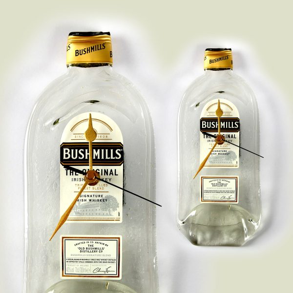
Bottle Clock Jameson Whiskey
$ 47.62 -
Let's Get Drunk Metal Sign (A4)
$ 15.44 -
Carlsberg Metal Sign 10×8 inch
$ 37.03 -
Caravan (A4) Metal Sign
$ 15.44