Product on sale
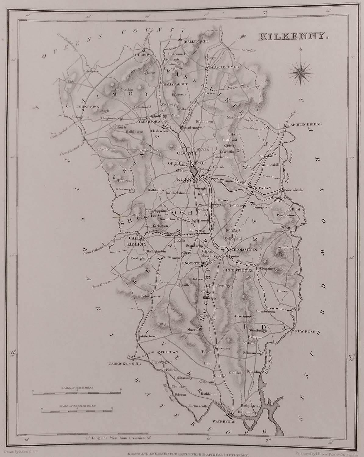
Kilkenny 1837 Antique Map Including Baronies
- Estimated Delivery : Up to 4 business days
- Free Shipping & Returns : On all orders over RM200
Original 1837 antique map of the county of Kilkenny. Map shows the main towns and villages of the time with the historical baronies also shown. The overall paper size is 12 1/2 by 9 1/2 inches, map size is 9 1/2 by 7 1/2 inches. Excellent margins for framing. Map is in very good condition, well preserved, paper will show ageing, markings and bumping. Originally published as part of Lewis’s Topographical Dictionary of Ireland on September the 27th 1837, the work was a comprehensive reference work detailing the geography and various aspects of Irish life. Compiled by Samuel Lewis, the dictionary includes detailed descriptions of Ireland’s parishes, towns, baronies, and counties. Map was drawn by R Creighton.


